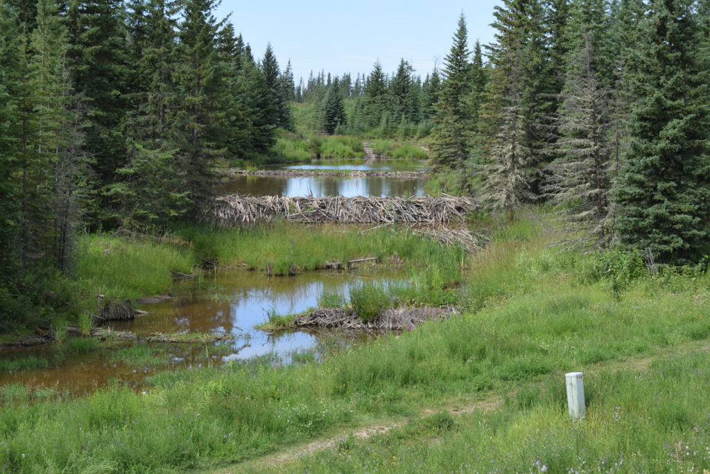
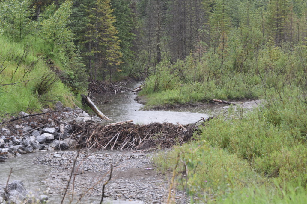
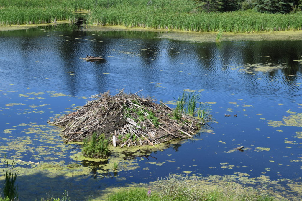
We left Hinton/Jasper on Friday morning, heading to Dawson Creek using Scenic Rt. 40 North. It was a bumpy ride on a 2 lane road but we made good time; even with some construction. We were going too fast to get any pictures of the bear, beaver, white tail and mule deer and caribou that we saw. They all take off as soon as they hear the rattle of our diesel engines. They don’t feel as protected as the animals in the parks and run away as soon as we get close.
We did have one mishap outside of Grand Prairie and got a large chip with a crack starting in the lower portion of the driver’s windshield. i missed finding any of the open repair shops but was able to get a mobile glass repair man to come out to see if he could temporarily save the windshield. We know we will need to replace it eventually, but would rather do that after the Alaska roads! He drilled the windshield and then filled it with resin. Hopefully that will hold the crack until we can replace the windshield when we get home.
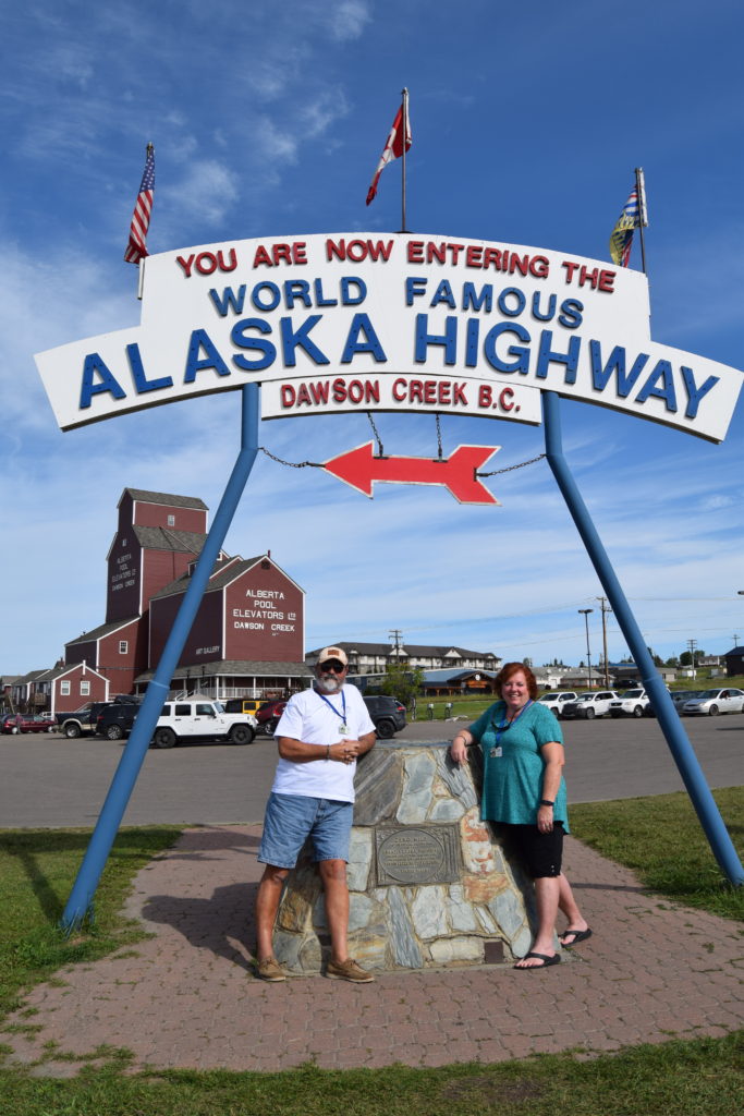
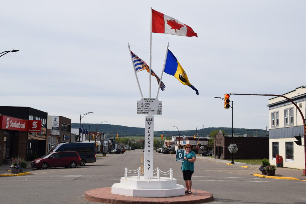
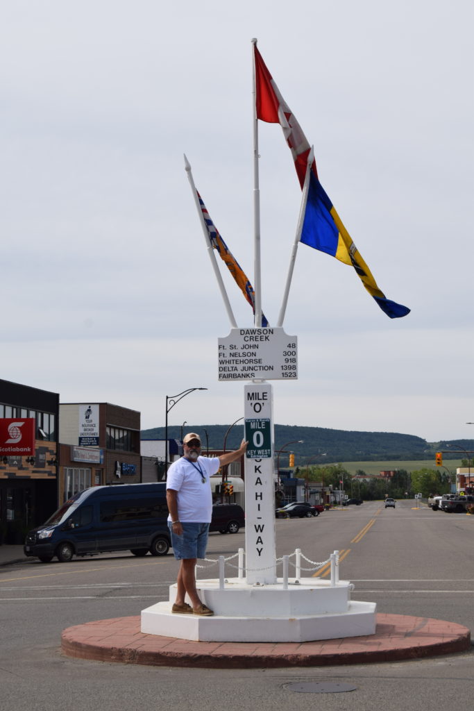
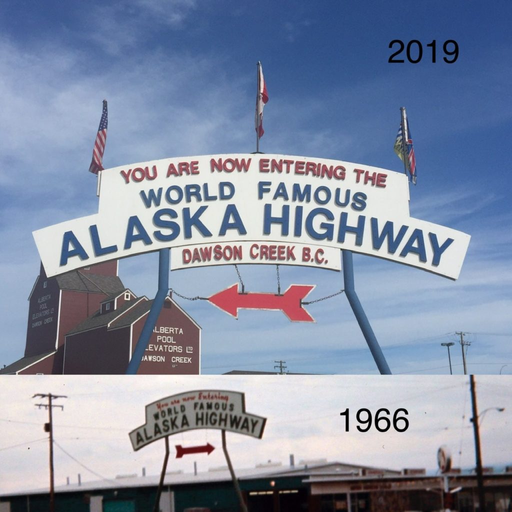
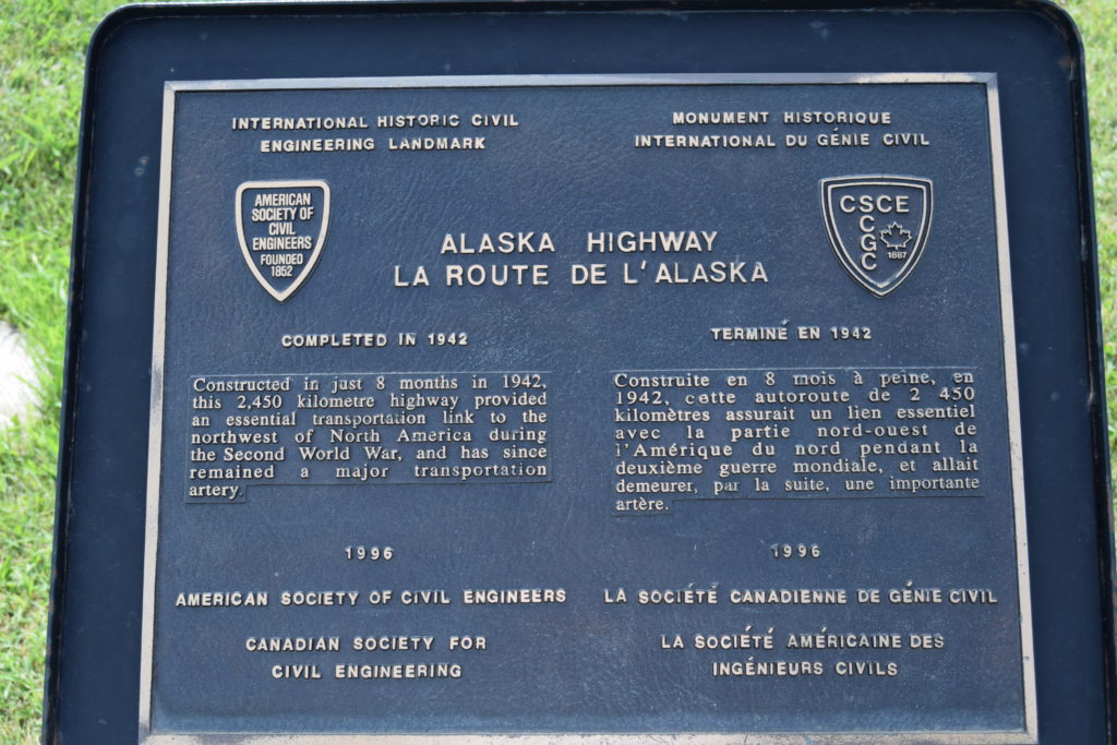
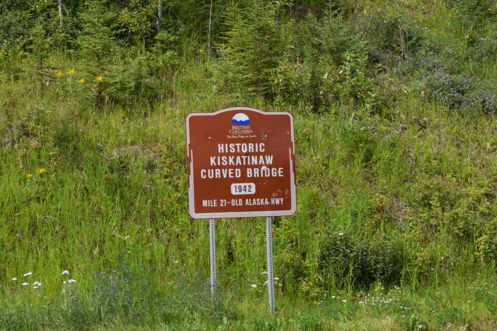
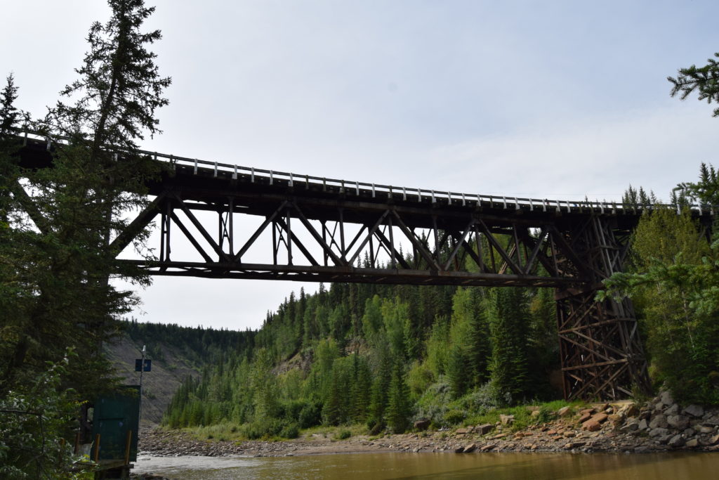
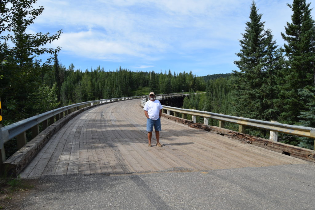
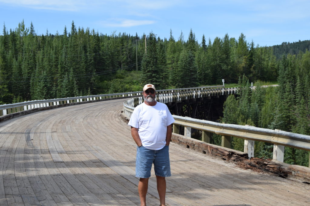
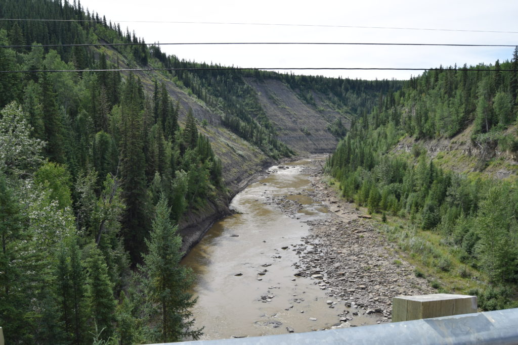
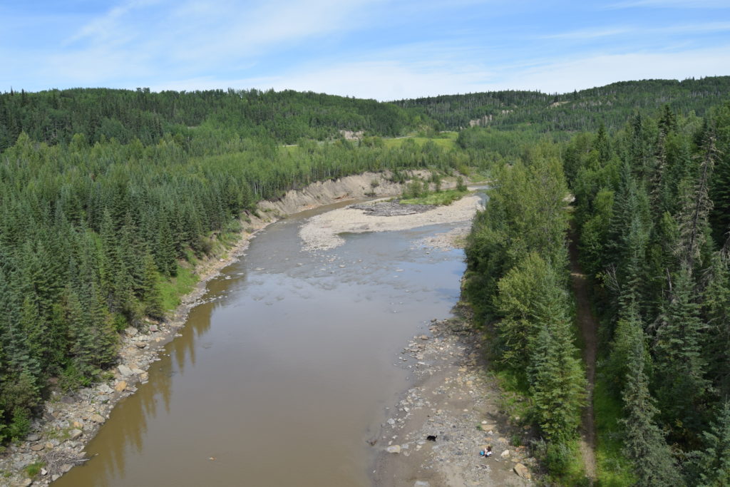
The Caravan provided a nice Bar-B-Que dinner in one of the buildings in the Walter Wright Pioneer Village that is located in the Mile 0 Campground where we stayed. After dinner someone from the Visitor Center gave a presentation on the history of the Alaska Highway and Dawson City’s role in the highway. After a continental breakfast provided by the caravan the next morning, we gathered at the highway sign near the visitor center for our group and individual photos. We took our Key West Mile 0 sign to the other Alaska Highway Mile 0 sign for our pictures before heading to explore. We visited the Kiskatinaw River Wooden Bridge which is about 15+ miles from the RV park. It is the only remaining timber bridge still being used. It is also one of the most unusual, curving nine degrees along its 534-foot length. Because of its 25-tonne capacity, a new road was built in 1978 that by passed the bridge. Randy was hoping this was the bridge in his pictures from his 1966 trip, but after looking at the bridge design, we could tell this was not the same bridge. We think the original pictures was of a railroad trestle bridge after looking at a few pictures of others in the area.
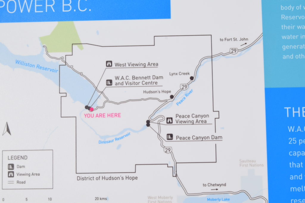
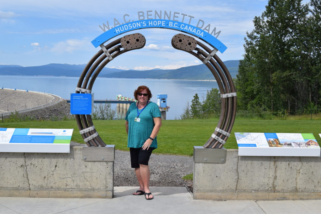
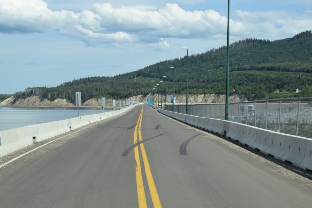
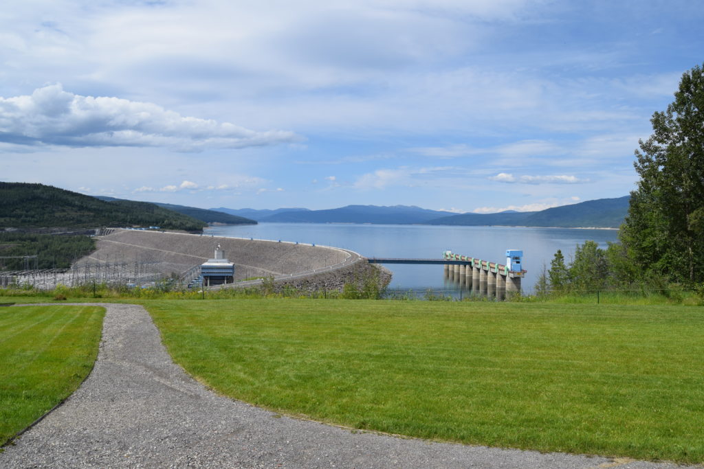
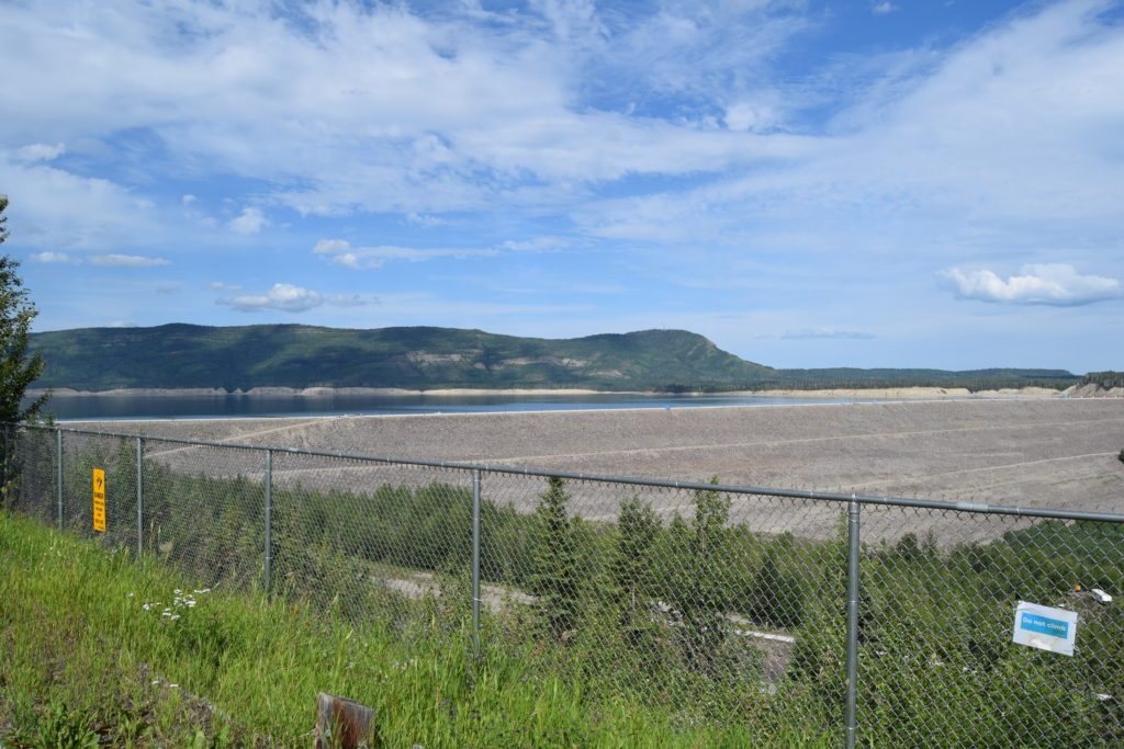
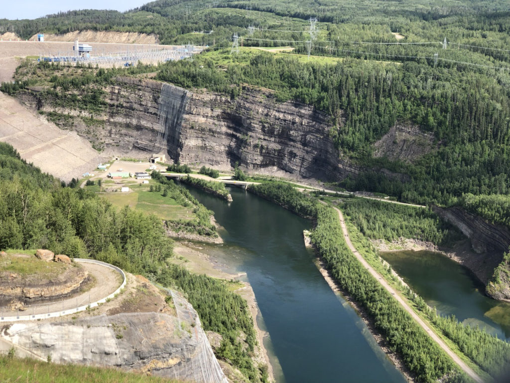
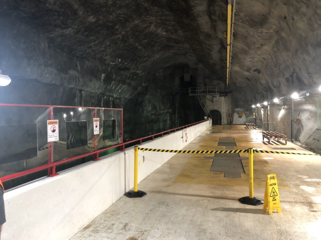
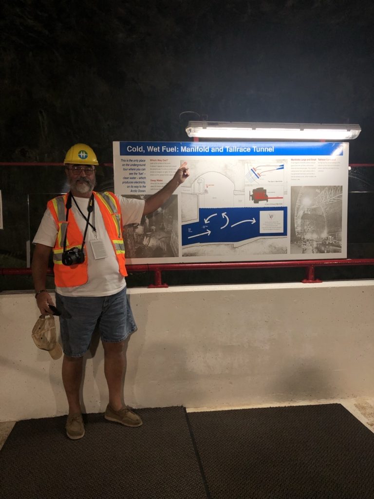
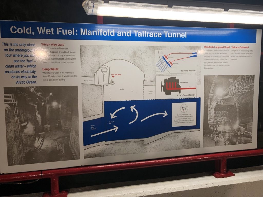
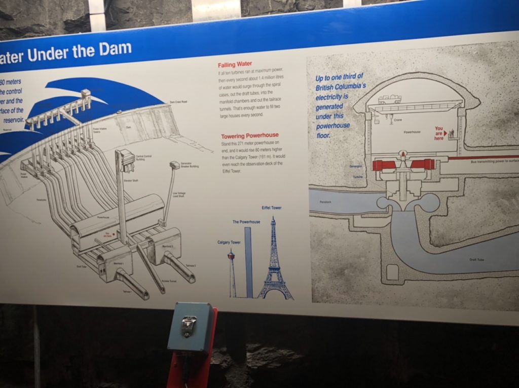
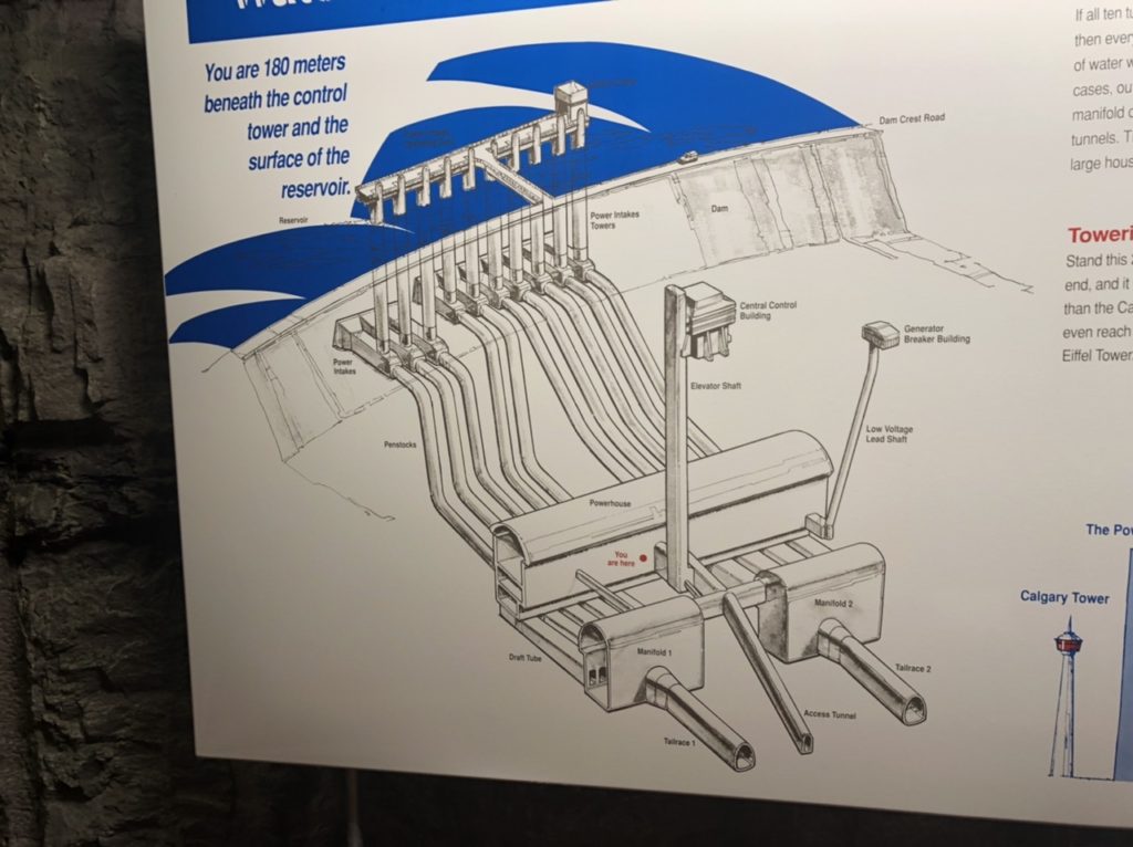
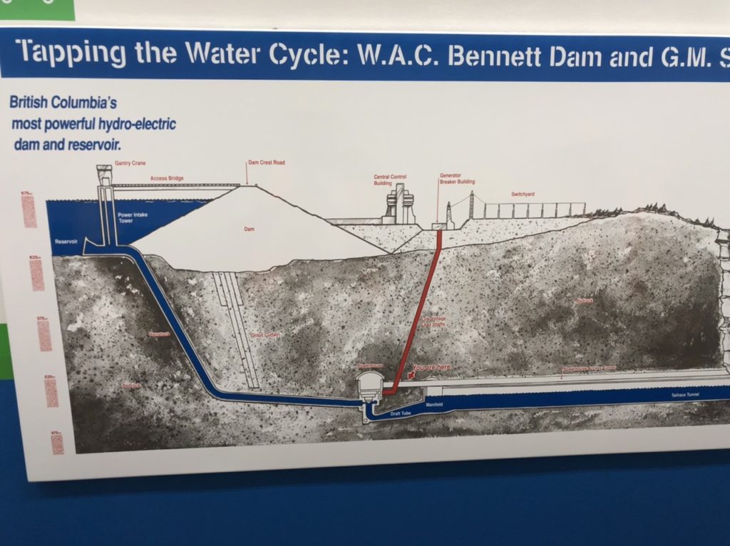
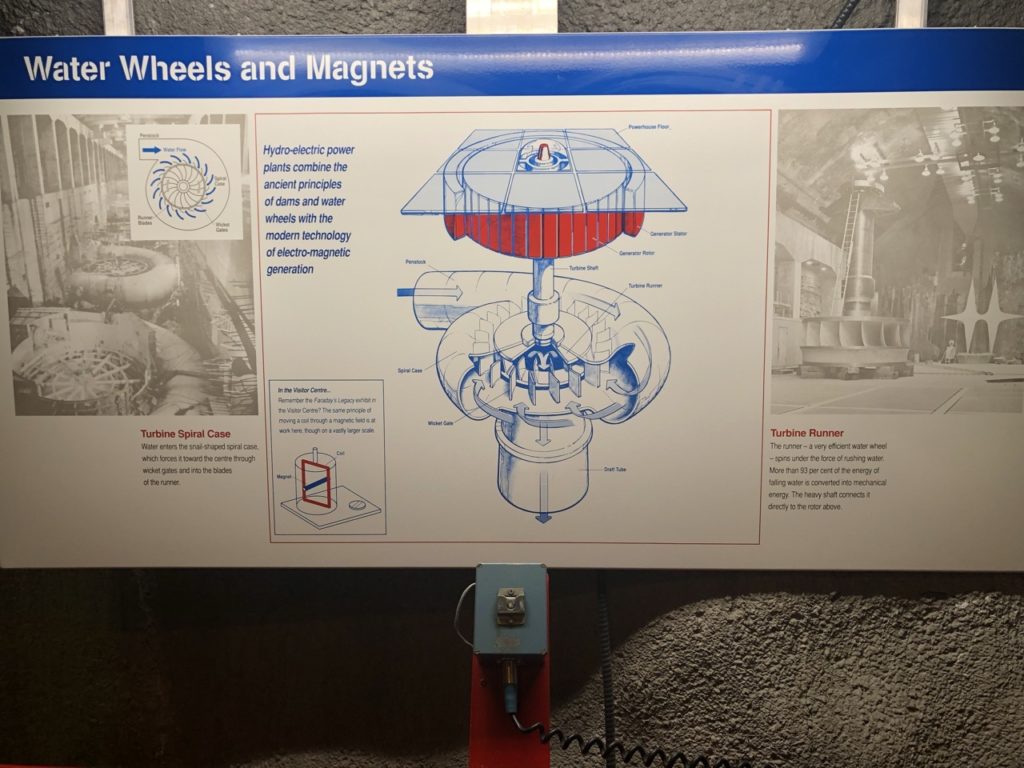
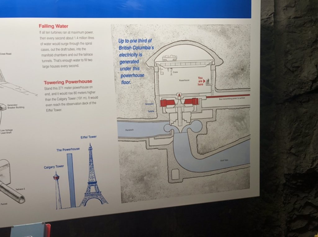
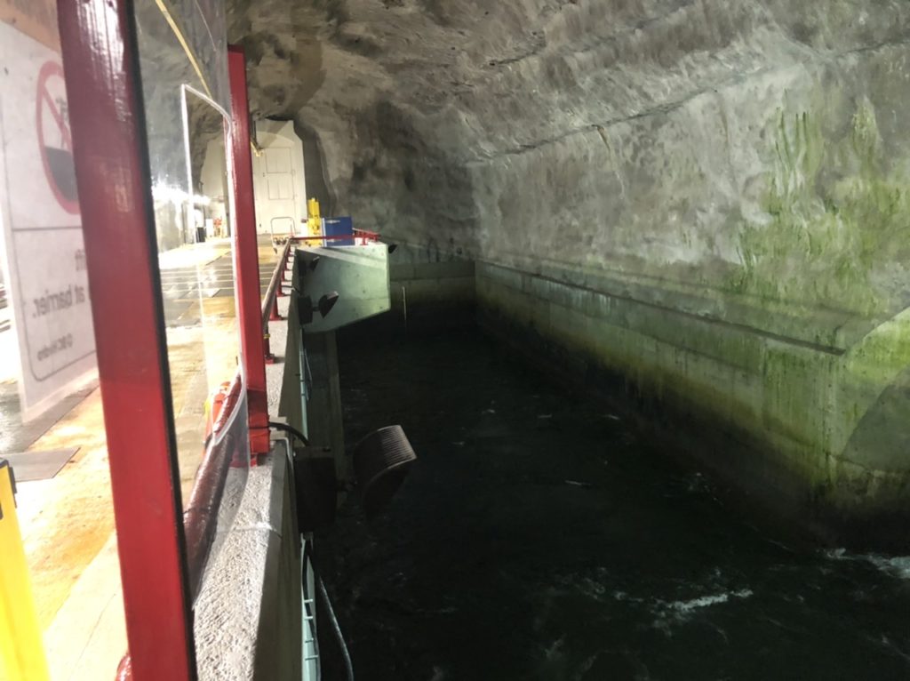
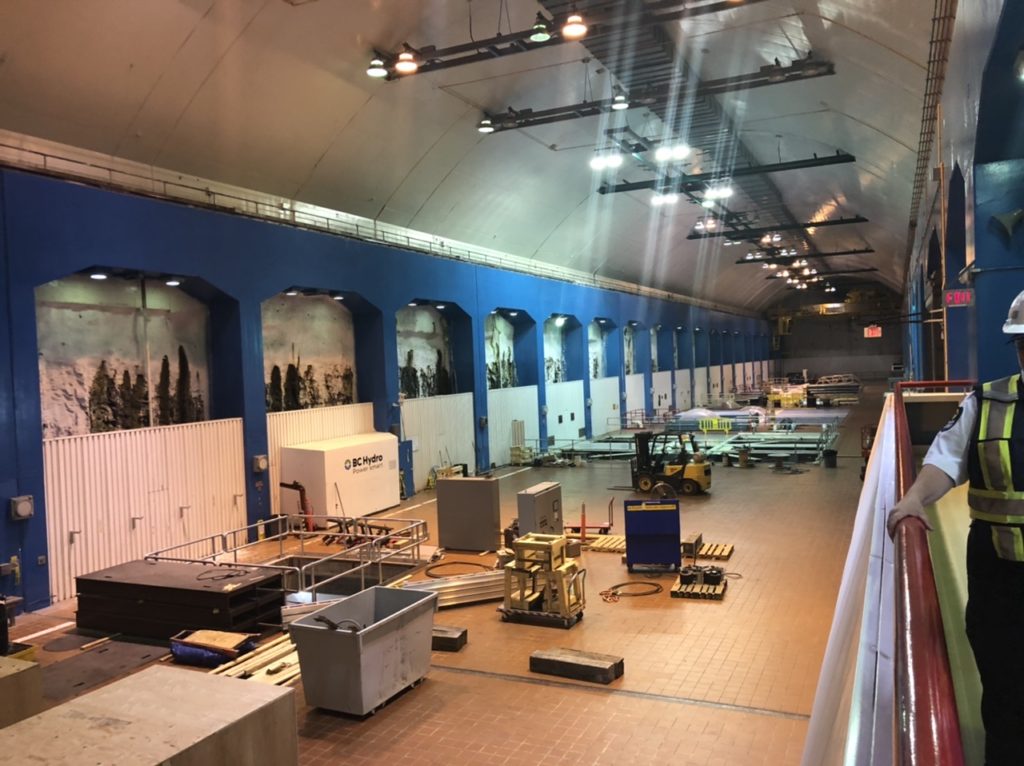
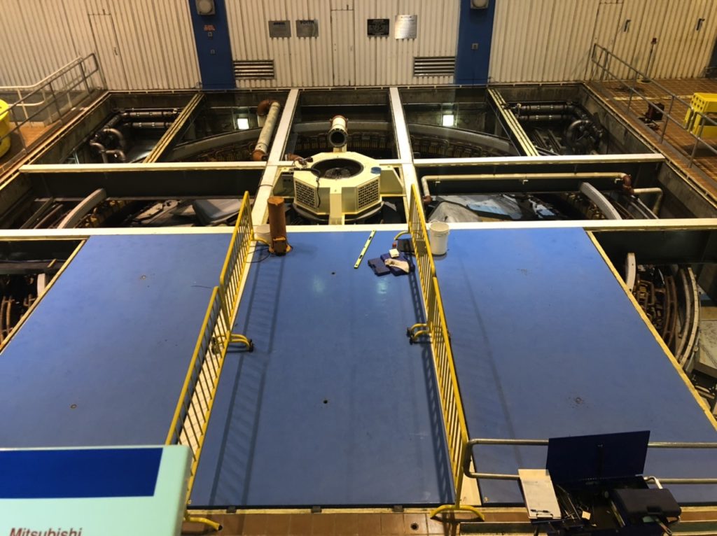
After leaving the Kiskatinaw Provincial Park area, we headed to the Portage Mountain Dam that was being built when Randy was there in 1966. The dam is now called the W. A. C. Bennett Dam. At 600 ft. high it is one of the world’s largest earth filled dams. Construction began in 1961 and culminated in 1968. There is now a Peace Canyon Dam and work is underway to complete a third dam. When we stopped at the Hudson’s Hope Visitor Center, we were told a berm needed to be built around the town so that it would not be flooded when the third dam becomes operational in a few years. It is a beautiful area that created the third largest artificial lake in North America and the largest body of fresh water in British Columbia, but the dam caused the death of lots of wildlife, that could not escape the rising waters, as well as the dislocation of many people, including members of the Tsay Keh Dene First Nation. Randy decided he wanted to do the tour which explained how the dam operates. I didn’t think I would like being down 500’ so I elected to tour the visitor center’s exhibits. After the tour we went across the bridge to the viewing area that looks down on the face of the dam.
